

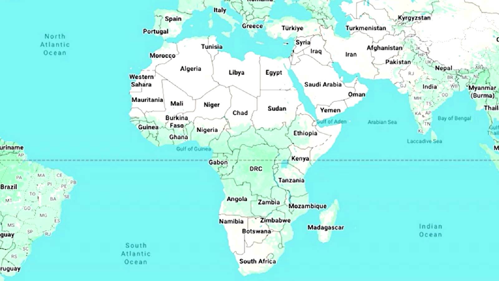


Togo is pushing for a change in the way the world is represented on maps, with Foreign Affairs Minister Robert Dussey backing the Equal Earth projection ahead of a United Nations vote on the initiative.
The United Nations was expected to consider a resolution on Friday backing a shift away from the 16th-century Mercator map of the world towards one that more accurately displays Africa's size, a move that campaigners said would counter perceptions of the continent as marginal or peripheral.
Togo led the initiative on behalf of the African Union campaign to limit use of the Mercator map which was created more than 450 years ago for navigation. The Mercator map distorts the relative size of land masses by expanding those nearer the poles. It makes Greenland appear roughly the same size as Africa, though Africa is about 14 times larger.
Dussey said the initiative has symbolic, historical and cultural importance for Africa. "A fair world begins with a fair map," Togo Foreign Minister Robert Dussey told Reuters ahead of Friday's vote, arguing that Africans should be able to see and discuss the continent’s “real size” more accurately.
The initiative is also part of a wider push to change perceptions of Africa, with Dussey saying the continent should be recognised for its central place in the world and its role in building peace, dialogue and cooperation.
Speaking after the vote, Dussey said maps were more than technical tools and played a key role in shaping perceptions of continents and peoples.
"This adoption comes as a historic moment for Africa and for the world," he said, arguing that the resolution supported a more balanced and geographically faithful depiction of the planet.
Togo spearheaded the initiative as part of a broader African Union campaign to move away from the centuries-old Mercator projection, which enlarges land masses closer to the poles and makes Africa appear much smaller relative to regions such as Greenland.
The resolution promotes the Equal Earth projection, which more accurately reflects the relative size of continents.
Dussey said correcting global maps would help restore understanding of Africa's true dimensions and economic potential.
"Africa must be represented in accordance with its true reality," he said, adding that the campaign was not directed against any country or civilization but sought to promote a more inclusive and representative international order.